Asset Mapping Services
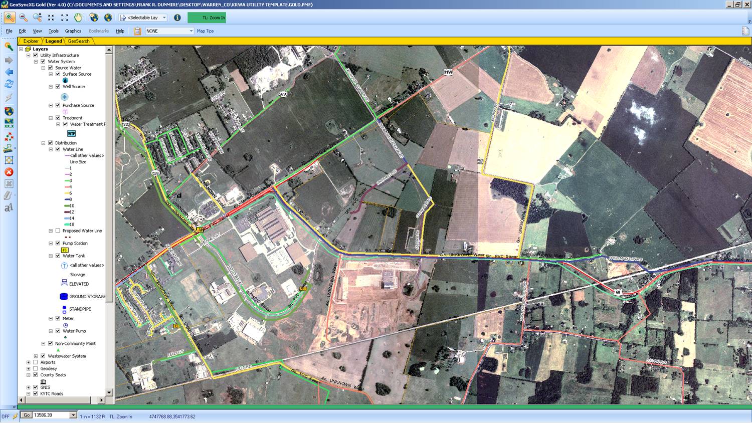
- The digital map files, can be accessed through a working relationship that IRWA has with DiamondMaps.com, to put your IRWA project maps, on their server, for mobile viewing with a smartphone or cellular capable tablet, as well as access on your computer over the internet; and will give users full editing capability. The program allows you to view, print, and click on system features (such as a valve, hydrant, meter pit, curb stop, manhole, lift station, treatment facility, etc.) on various base maps such as aerial and road view; and pull up attribute data about each, which you can edit and add data to.
This is at no extra charge to the system for the first year's subscription. Continuance of the Diamond Maps service after the first year is at the utility's discretion. Also, the system will receive a digital copy of all initial GPS and GIS processed mapping files; and IRWA will keep a copy as well.
Payment for GIS services is a set charge per feature, with IRWA members receiving an automatic 30% discount, and even more of a reduction with bigger projects.
E-mail Don Craig or call him at 217-561-1061 for additional information.
Through the implementation of GPS & GIS technology, IRWA can effectively produce digital maps and hard copy maps, if needed. With this service available from IRWA, utilities can attain new and accurate maps to sub-foot GPS parameters of each feature, to better manage their water, wastewater, and storm sewer assets.

Illinois Rural Water Association
3305 Kennedy Road; PO Box 49
Taylorville, IL 62568
Phone: 217-287-2115
Fax: 217-824-8638
Email: ilrwa@ilrwa.org
Privacy Policy